

Land Development
Surveying Services for Residential and Commercial Development
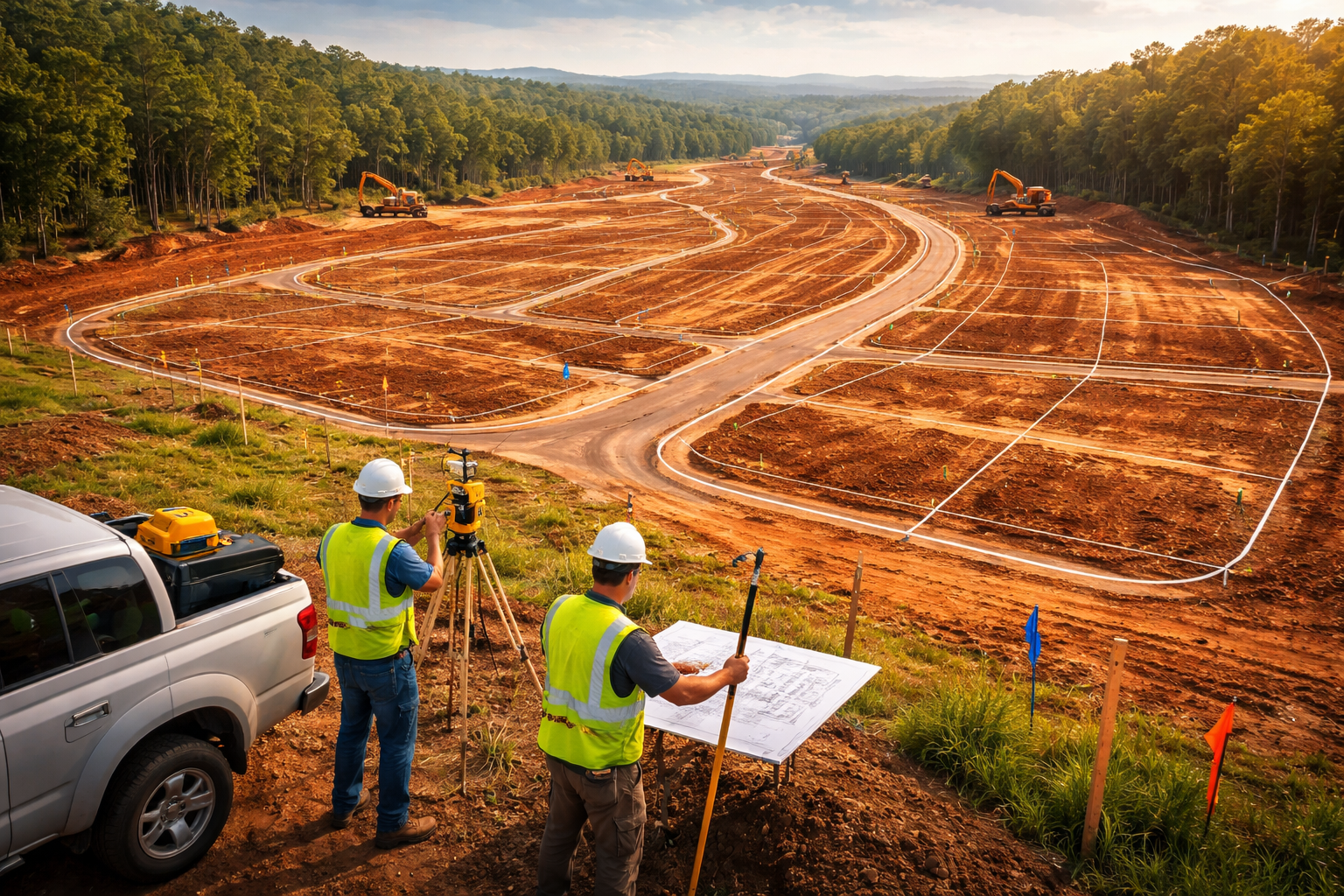
Ascension Surveying provides professional land surveying and terrain mapping services that support residential and commercial land development projects throughout North Carolina and Tennessee. Our team works with developers, engineers, and planners to deliver accurate site data that helps guide development decisions and project design.
Successful land development begins with a clear understanding of property boundaries, terrain conditions, and existing site features. Ascension Surveying provides detailed boundary surveys, topographic surveys, and aerial terrain mapping that give developers and engineers the accurate information needed to plan and design efficient site layouts.
Using a combination of traditional surveying methods and modern drone LiDAR mapping technology, we are able to collect highly detailed elevation and terrain data across large properties and complex landscapes. This information helps development teams evaluate slopes, drainage patterns, and land characteristics that influence site planning and infrastructure design.
Our surveying services support many stages of the development process, including site planning, property boundary determination, terrain analysis, and infrastructure preparation. By providing dependable surveying data early in the development process, we help reduce uncertainty and support efficient project design.
Ascension Surveying is committed to delivering accurate surveying information, modern mapping technology, and reliable service that helps land development projects move forward with confidence.