
Professional Land Surveying & Drone LiDAR Mapping in Tennessee
High-accuracy surveying, drone LiDAR mapping, and 3D terrain modeling for engineering, construction, and land development projects across Tennessee.
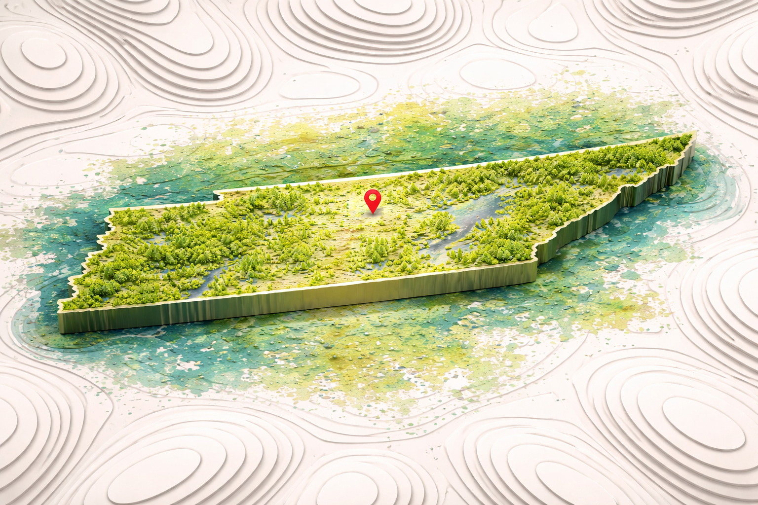
Ascension Surveying provides professional land surveying and advanced drone LiDAR mapping services throughout Tennessee. Our team supports civil engineering firms, developers, contractors, and property owners with precise, survey-grade data for projects of all sizes. From boundary and topographic surveys to high-resolution aerial LiDAR mapping and terrain modeling, we deliver accurate information that helps move projects forward with confidence.

Land Surveying & Mapping Services Across Tennessee
We provide a full range of land surveying and drone mapping services across Tennessee, including:
Boundary Surveys
Topographic Surveys
Construction Surveying
Drone LiDAR Surveying
3D Terrain Mapping
LiDAR Point Cloud Processing
Construction Drone Mapping
Land Development Surveys
Our team combines traditional surveying methods with advanced drone technology to deliver efficient, accurate results for projects of all sizes.

Supporting Engineers, Developers, and Contractors Across Tennessee
Ascension Surveying works with clients throughout Tennessee, including:
Civil Engineering Firms
Land Developers
General Contractors
Utility & Infrastructure Companies
Property Owners
We provide reliable surveying data that integrates seamlessly into engineering design, construction planning, and development workflows.

Advanced Drone LiDAR Technology for Tennessee Projects
Our drone LiDAR surveying services provide a fast and efficient way to collect highly detailed terrain data across large and complex sites. Using advanced drone platforms and LiDAR sensors, we are able to:
Capture millions of elevation points
Map terrain through vegetation
Generate digital elevation models (DEMs)
Deliver high-resolution 3D terrain data
This technology is ideal for projects requiring accuracy, efficiency, and detailed site analysis.

Serving Clients Across Tennessee
Ascension Surveying provides land surveying and drone mapping services throughout Tennessee, including:
Nashville • Memphis • Knoxville • Chattanooga • Clarksville • Murfreesboro • Franklin • Hendersonville • Johnson City • Kingsport • Bristol • Cleveland • Smyrna • Bartlett • Germantown • Collierville • Jackson • Columbia • Cookeville • Oak Ridge • Morristown • Gallatin • Lebanon • Mount Juliet • Spring Hill • Tullahoma • Crossville • Sevierville • Maryville
And surrounding counties and rural areas across Tennessee.

Why Choose Ascension Surveying
Licensed and experienced surveying professionals
Advanced drone LiDAR mapping capabilities
Accurate, survey-grade data and deliverables
Reliable communication and project support
Trusted by engineers, developers, and contractors
We combine precision, technology, and field expertise to deliver dependable results for projects across Tennessee.

Request Land Surveying or Drone LiDAR Services in Tennessee
Whether you need a boundary survey, topographic data, or advanced drone LiDAR mapping, our team is ready to support your project.