

DJI Matrice LiDAR Platform
Advanced Drone Technology for High-Accuracy Terrain Mapping
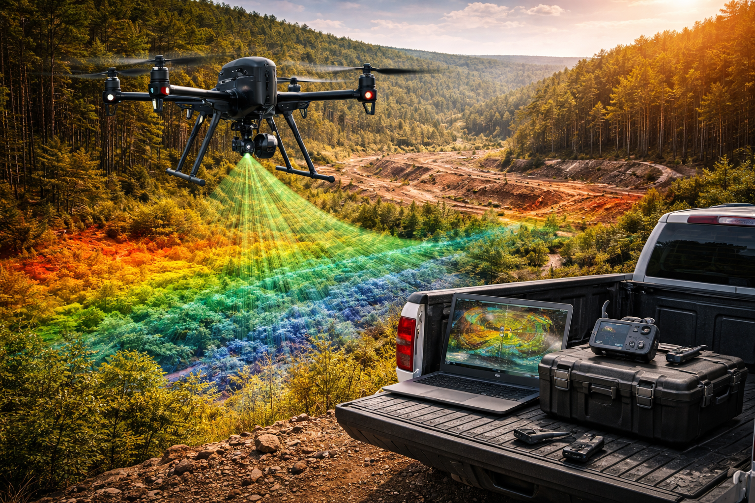
Ascension Surveying utilizes advanced DJI Matrice drone platforms equipped with LiDAR sensors to provide highly detailed aerial mapping and terrain data for engineering, construction, and development projects across North Carolina and Tennessee. This powerful combination of drone technology and laser scanning allows our team to efficiently collect accurate geospatial data across large areas and complex environments.
The DJI Matrice platform is designed for professional surveying and mapping operations, offering stable flight performance, high-precision navigation systems, and the ability to carry advanced LiDAR sensors capable of capturing millions of data points during each flight. This technology allows Ascension Surveying to produce highly detailed point clouds, digital elevation models, and terrain maps that engineers and project planners rely on for design and analysis.
One of the key advantages of drone-based LiDAR systems is their ability to capture terrain data even in areas with dense vegetation or difficult access. LiDAR sensors emit laser pulses that measure the distance between the drone and the ground surface, allowing the system to detect subtle elevation changes and create highly accurate terrain models.
By integrating the DJI Matrice platform with high-precision GNSS positioning systems and advanced data processing software, Ascension Surveying is able to deliver reliable surveying data that meets the standards required for modern engineering and development projects.
This technology allows our team to safely and efficiently perform large-area terrain mapping, infrastructure surveys, construction site analysis, and environmental mapping, providing clients with the accurate information needed to make informed decisions.
Ascension Surveying is committed to using modern surveying technology and proven field expertise to deliver dependable mapping solutions and accurate geospatial data for projects throughout the Southeast.